VWL550 Vertical Profiling Lidar
VWL550
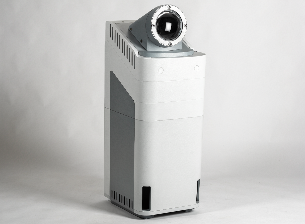
The VWL550 is a pulse coherent wind lidar that profiles horizontal wind speed, wind direction, vertical wind speed, turbulence intensity and wind shear index from 30 m to 400 m above ground. It is supplied in the UK by MetSensor UK.
- ✓ Pulse coherent lidar profiling wind from 30-400 m
- ✓ Up to 30 vertical layers at 1 m minimum resolution
- ✓ Wind speed accuracy ≤0.1 m/s, direction accuracy <1°
- ✓ Data update interval configurable from 1 second to 10 minutes
- ✓ DC 12/24V or solar powered
- ✓ RS485, RS232, WiFi, Bluetooth, LTE interfaces
Specifications
| Technology | Pulse coherent wind lidar |
|---|---|
| Wavelength | 1550 nm (eye-safe) |
| Detection height range | 30-400 m |
| Spatial resolution | 30 layers; minimum 1 m resolution |
| Wind speed range | 0-70 m/s |
| Wind speed accuracy | ≤0.1 m/s |
| Wind direction accuracy | <1° |
| Data update interval | 1s-10min |
| Weight | <60 kg |
| Power supply | DC 12/24V or solar |
| Communication interfaces | RS485, RS232, WiFi, Bluetooth, LTE |
| Data Updating Interval | 1s-10min |
| Data Output | Second wind speed, wind direction, vertical wind speed, max/min horizontal wind speed, turbulence intensity, wind shear index |
| Power | DC12/24V / Solar Power |
| Interface | RS485/RS232/Wifi/BT/LTE |
Applications
- Wind resource assessment
- Wind turbine power curve testing
- Wind power forecasting
- Complex terrain wind shear analysis
- Planetary boundary layer research
Frequently asked questions
What height range does the VWL550 profile?+
30 m to 400 m above ground, across up to 30 layers with 1 m minimum resolution.
How does the VWL550 differ from the VWL?+
The VWL550 profiles a lower height range (30-400 m) suited to wind turbine and boundary-layer work, while the VWL scans up to 6000 m for aviation and wind farm assessment.
What is the data update interval?+
Configurable from 1 second to 10 minutes.
Can the VWL550 run on solar power?+
Yes, it accepts DC 12/24V or solar power supply.