1 September 2026
Vertical Profiling Wind Lidar in Wind Resource Assessment Campaigns
Key Takeaways
- Vertical profiling lidar measures wind vectors from roughly 40 to 500 metres in height, well past the reach of most meteorological masts.
- Typical accuracy is around ±0.1 m/s for wind speed and ±1° for wind direction, with spatial resolution as fine as 5 to 50 metres vertically.
- Over 80% of existing met masts are shorter than 120 metres, while many current turbines have hub heights above 160 metres, creating a measurement gap lidar is designed to fill.
- Lidar is used across the full project lifecycle, from pre-feasibility surveys through micrositing, construction monitoring and long-term operational monitoring.
Why Wind Resource Assessment Needs a Rethink
Wind resource assessment is the process of measuring and modelling the wind available at a proposed or operating site, and it underpins every financial decision made about a wind project. For decades this relied on meteorological masts fitted with cup or ultrasonic anemometers at a handful of fixed heights. The problem is that most existing masts were built to older height standards. A large majority, over 80% by some estimates, stand below 120 metres, while current turbine hub heights regularly exceed 160 metres. Measuring wind at 100 metres and extrapolating upward to estimate conditions at 160 metres can introduce prediction errors that exceed 18%, which is a significant risk when a project's financing depends on an accurate energy yield forecast.
How Vertical Profiling Lidar Works
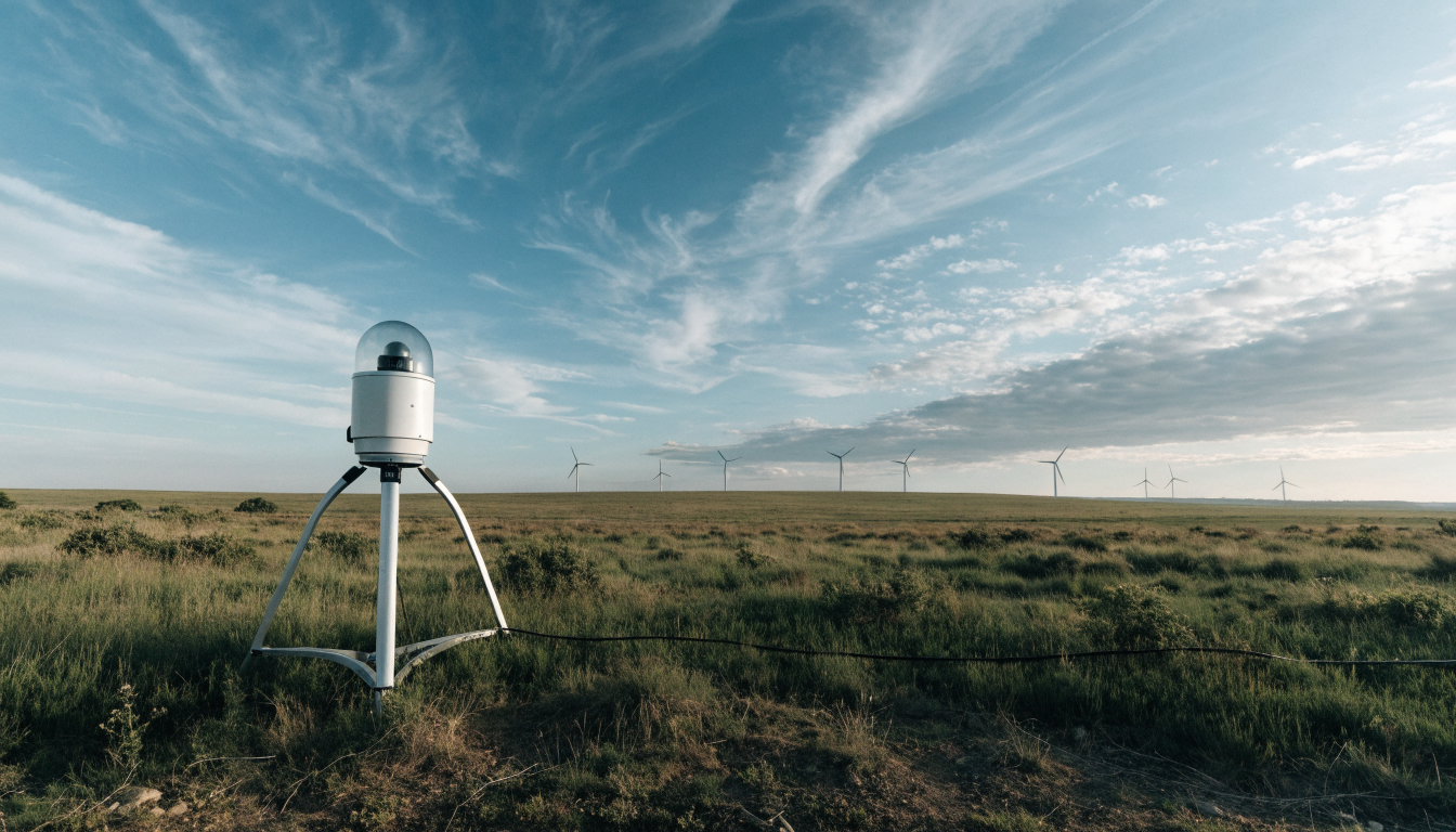
The instrument sends pulsed laser light, typically at 1550 nm or 1064 nm wavelengths, up into the atmosphere and measures the Doppler frequency shift in the light scattered back by naturally occurring aerosol particles carried on the wind. A photodetector captures the return signal, and onboard processing converts the frequency shift data into a three-dimensional wind vector at each height slice. Because there is no physical structure extending into the air column, a single ground-mounted unit can build a profile covering roughly 40 to 500 metres in height, with the exact range configurable to the project.
Accuracy and Resolution in Practice
Wind speed accuracy is typically quoted at around ±0.1 m/s and wind direction at around ±1°. Vertical spatial resolution is usually in the 5 to 50 metre range, with 10 metres a common working default, while horizontal resolution can run from 1 to 100 metres depending on scan mode. Data update rates range from 1 to 10 Hz for single-point staring measurements down to 0.1 to 1 Hz when the unit is scanning across multiple beam angles. Units are generally rated for operation from -40°C to +50°C and carry an IP65 or higher ingress protection rating, which matters for exposed hilltop or offshore deployments, see our guide to IP rating classifications for what that means in practice.
Pre-Feasibility Site Screening
Before committing to a fixed measurement campaign, developers often need to screen a wide area quickly. A vehicle-mounted lidar unit can survey an area on the order of 50 square kilometres in around a week, giving a first-pass picture of wind resource across a candidate site at a fraction of the cost of building even one met mast. This kind of rapid screening can cut pre-feasibility survey costs by well over half compared with a mast-based approach.
Micrositing and Turbine Layout Optimisation
Once a site is chosen, the next question is exactly where each turbine should sit. A network of multiple lidar units deployed across the site can build a three-dimensional wind field rather than a set of isolated points, which lets planners see how wind speed and turbulence vary between candidate turbine positions. Applying terrain correction models to this data has been shown to bring wind speed prediction error down to below 5% in some projects, and better-informed layout decisions have delivered measured gains in annual energy production of the order of 8.5% on individual sites.
Construction and Long-Term Operational Monitoring
During construction, real-time wind speed and turbulence data from lidar helps schedule crane lifts and blade installation safely, reducing weather-related delays, which matters particularly for offshore projects where interruptions are costly. After commissioning, a permanent ground-based lidar can continue operating as a long-term reference station, supporting power performance checks and wake analysis. Sites using this kind of ongoing monitoring have reported reductions in turbine failure rates and gains of 3 to 5% in annual energy production through better-informed operational decisions.
Choosing the Right Instrument
For most wind resource assessment campaigns, the choice is between a fixed vertical profiling lidar and a scanning system, depending on whether the project needs a single hub-height profile or a wider three-dimensional wind field. MetSensor UK supplies the VWL550 vertical profiling lidar in the UK for standard hub-height profiling work, and the ZAS Doppler sodar wind profiler as an acoustic alternative for sites where an optical lidar is less suitable, such as areas with very low aerosol content.
Summary
Vertical profiling lidar has become a practical answer to the height gap between existing meteorological infrastructure and modern turbine hub heights. Used correctly across pre-feasibility, micrositing, construction and operational stages, it reduces both the cost and the uncertainty of wind resource assessment compared with mast-only campaigns.
Frequently asked questions
How high can vertical profiling lidar measure wind speed?+
Typical ground-based vertical profiling lidar units cover a configurable height range of roughly 40 to 500 metres, which is set according to project requirements.
Why do wind farm developers use lidar instead of met masts?+
Over 80% of existing met masts stand below 120 metres, while modern turbine hubs often exceed 160 metres. Lidar removes this height limitation and can also be deployed and moved much faster than a mast.
What accuracy can be expected from a vertical profiling lidar?+
Typical specifications are around ±0.1 m/s for wind speed and ±1° for wind direction, with vertical spatial resolution commonly in the 5 to 50 metre range.
Can lidar replace a met mast entirely for wind resource assessment?+
In many campaigns lidar is used alongside a shorter reference mast for cross-calibration, then relied on as the primary instrument for hub-height and above-mast measurements.