11 September 2026
UAV Drone Air Quality Monitoring with Micro Compact Sensors
Key takeaways
- UAV-mounted micro compact sensors measure temperature, humidity, light, PM10, PM2.5, and gases including SO2, NO2, CO and O3, with wind data available as an option.
- A drone survey can replace or supplement a network of fixed monitoring stations at a fraction of the capital cost, roughly £8,000 versus £160,000 for a comparable fixed network, according to our manufacturing partner figures.
- Minimal sensor configurations weigh under 200 grams without housing, keeping total payload well under 10 kilograms on most survey drones.
- Applications range from locating industrial pollution sources to enforcement monitoring and coverage of areas without existing fixed stations.
Why drones are used for air quality monitoring
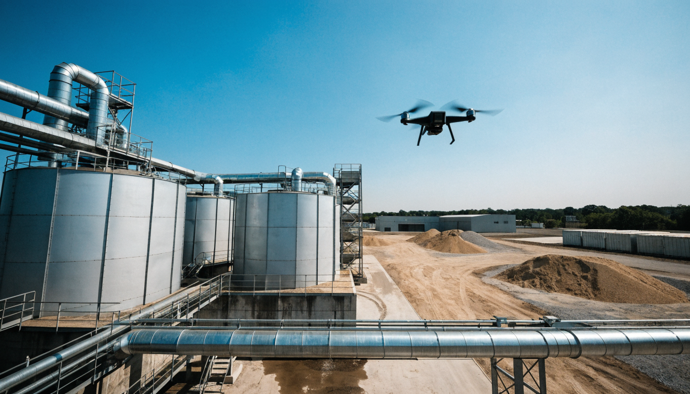
Fixed air quality monitoring stations are accurate but static. They tell you what the air is like at one point, continuously, but they cannot easily tell you where a plume of pollution is coming from or how it changes with altitude. A UAV (unmanned aerial vehicle) fitted with a micro compact air quality sensor solves that problem by moving the measurement point. Instead of waiting for pollution to reach a fixed sensor, the drone can be flown directly to a suspected source, at whatever height is useful, and build up a map of readings across an area in a single flight.
What a UAV air quality sensor measures
A typical micro compact station for drone use is built around a high-precision intelligent gas sensor package. Depending on configuration, it can report:
- Temperature and humidity
- Illumination (light level)
- PM10 and PM2.5 particulate matter
- SO2, NO2, CO and O3 gas concentrations
- Wind direction and wind speed, as an optional add-on
Particle detection is generally done with laser scattering technology, giving accuracy in the region of ±15% or ±10 µg/m³, depending on the concentration range. MetSensor UK supplies several models in the the manufacturer ZAQ series suited to this kind of mobile deployment; the full range is detailed on our ZAQ series comparison page, and the dedicated dust and particle monitoring sensor product page covers particulate-focused configurations in more depth.
Locating pollution sources
One of the clearest use cases is source location. In an industrial park or around a construction site, it is often unclear exactly which building, stack or activity is responsible for elevated readings at a boundary. A drone can fly a grid pattern above the site and build a spatial picture of where concentrations are highest, narrowing the search area far faster than walking a handheld sensor around the perimeter. The same approach is used to investigate emissions from vessels in port, where a fixed sensor on the quayside may only catch part of the plume depending on wind direction.
Supporting enforcement work
Environmental enforcement teams have traditionally relied on door-to-door inspections to check for unauthorised emissions, which is slow and easy to evade. A UAV survey can generate a real-time pollutant distribution grid across a wider area in a single pass, letting inspectors target the specific sites showing elevated readings rather than checking every property in sequence.
Covering areas without fixed infrastructure
Rural villages, transmission line corridors, and stretches of road between towns rarely justify the cost of a permanent fixed monitoring station. A drone-mounted sensor can be flown into these areas on an as-needed basis, giving regulators and researchers data from locations that would otherwise go completely unmonitored. This flexibility extends to residential areas and industrial parks where planning restrictions or land access make a permanent installation impractical.
Weight and payload considerations
Because every extra gram on a drone reduces flight time, UAV air quality sensors are built to be as light as possible. A minimal sensor configuration, without external housing, can weigh under 200 grams. Complete payload setups, including housing, GPS, compass and wireless connectivity, typically stay below 10 kilograms, which keeps them compatible with mid-sized commercial survey drones rather than requiring heavy-lift platforms.
Connectivity options
UAV sensor packages commonly support GPS or GNSS positioning and a compass for accurate geotagging of readings, alongside wireless data links over LTE, WiFi, Bluetooth or LoRa. This lets the drone stream readings back to a ground station in real time, rather than requiring data to be downloaded after landing.
Cost comparison with fixed networks
Building out a network of fixed monitoring stations to achieve similar spatial coverage to a single drone survey has historically run into the hundreds of thousands of pounds, largely due to the number of stations, civil works and ongoing maintenance required. A UAV-based sensor system, by contrast, can be deployed for a fraction of that cost, since one aircraft and sensor package can survey many locations over time rather than requiring permanent infrastructure at each one. This makes drone-based monitoring particularly attractive for one-off investigations, incident response, or areas where a permanent station cannot be justified.
Choosing a sensor for UAV integration
Anyone specifying a sensor for drone use needs to balance weight, power draw and measurement range against the pollutants relevant to their site. For broader background on how this fits alongside other airborne and mobile monitoring approaches, see our UAV and drone monitoring applications page. MetSensor UK, as the UK distributor for these environmental monitoring sensors, can help match a specific ZAQ configuration to a drone platform's payload and power budget, and also stocks the wider air quality sensor range for fixed installations where a permanent station is the better fit.
Frequently asked questions
What can a UAV air quality sensor measure?+
A typical UAV-mounted unit measures temperature, humidity, light, PM10 and PM2.5, plus gases such as SO2, NO2, CO and O3, with wind speed and direction available as an option.
Why use a drone instead of a fixed monitoring station?+
A drone can reach multiple locations and altitudes in one flight, is far cheaper to deploy than a network of fixed stations, and can be repositioned as needed for spot checks or incident response.
How light are UAV air quality sensors?+
Minimal configurations can weigh under 200 grams without external housing, and complete payload setups typically stay under 10 kilograms.