27 August 2026
Where Ceilometers Are Used: Aviation, Energy, Cities and Beyond
Key takeaways
- Aviation remains the largest and most safety-critical use case, since cloud base directly determines whether an aircraft can land visually or needs an instrument approach.
- Energy operators use cloud height alongside irradiance data to forecast short-term swings in solar generation output.
- Road authorities and city planners use cloud and fog data to manage visibility-related accident risk and urban heat.
- The same core measurement, cloud base height, supports very different decisions depending on the sector reading it.
A ceilometer produces one core output, the height of the cloud base above the instrument, sometimes alongside cloud layer thickness and vertical visibility. What differs by sector is how that single number gets used. In aviation it can decide whether a flight lands or diverts. In energy it feeds a generation forecast. In a city it can trigger a flood response plan. This article works through the main sectors where ceilometer data is actively used today.
Civil aviation: the original and largest use case
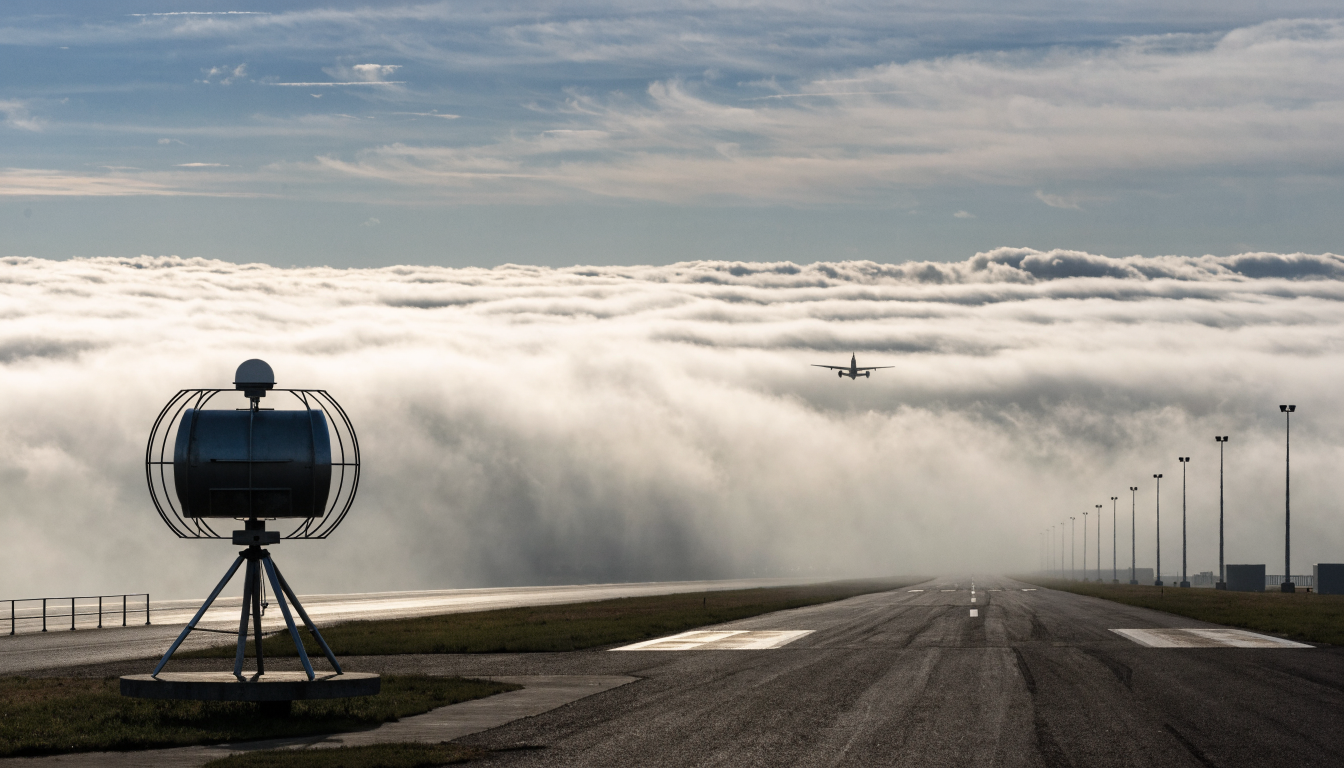
Cloud base height governs which approach procedure a pilot can use. Under Category III (CAT III) low-visibility landing procedures, defined by ICAO, there are strict minimum cloud base and visibility thresholds an airport must be able to measure reliably before allowing an aircraft to attempt a landing in poor conditions. Fog is typically classified by density according to how low the cloud or obscuration sits, with dense fog associated with cloud bases at or below around 50 metres and lighter fog associated with higher bases. Because cloud base can change quickly, in some cases dropping tens of metres within half a minute, airports need continuous, automated measurement rather than periodic visual checks. This is the reason ceilometers are mandated equipment at instrument-rated runways rather than an optional extra.
Drone and eVTOL logistics
As commercial drone delivery and low-altitude air taxi trials expand, operators need cloud base and visibility data specific to the corridor they are flying, not just the nearest airport reading. Industry reporting on early drone logistics trials has linked improved local weather awareness to meaningful reductions in weather-related incident rates. This is a growing niche application covered in more depth on our UAV and drone monitoring page.
Environmental and air quality monitoring
Ceilometers are also used for atmospheric boundary layer research, since the mixing layer height (broadly related to cloud base and aerosol layer measurements) affects how pollutants disperse near ground level. Environmental agencies in several countries have started requiring ceilometer or similar vertical-profiling instruments in key cities as part of three-dimensional air quality monitoring programmes, alongside satellite calibration work where ground-based cloud data helps correct errors in satellite-derived pollution estimates. This overlaps with the instrumentation covered on our air quality monitoring page.
Military and defence applications
Cloud base and ceiling height directly affect drone penetration tactics, night operations, and missile guidance systems that rely on line-of-sight or thermal imaging. NATO exercises have reported that better real-time cloud ceiling awareness improved outcomes for both drone missions and precision targeting in low-visibility scenarios. Mobile, ruggedised ceilometer units designed for rapid field deployment are used to build a local cloud picture in a matter of minutes rather than relying on forecasts alone.
Energy: solar forecasting and grid protection
On photovoltaic sites, cloud base height combined with cloud movement and thickness materially improves short-term output forecasting accuracy, which matters for grid operators balancing supply in near-real time. Reported case studies from large-scale solar installations describe measurable reductions in forecast error once ceilometer data was added to existing irradiance monitoring. On the transmission side, cloud and precipitation data is also used alongside temperature monitoring to anticipate icing risk on overhead lines, since icing faults are a recurring winter cause of transmission loss. More detail on this sector is available on our solar PV monitoring page.
Smart cities and transport
City authorities use cloud and fog data for two broad purposes: managing urban heat through ventilation corridor planning, and reducing fog-related road accidents on high-risk stretches of motorway. Expressway operators in fog-prone corridors have reported significant reductions in fog-related accident rates after installing continuous visibility and cloud monitoring, feeding into automated speed limit and warning systems. This crosses over with the instrumentation described on our smart buildings and cities page.
Climate research and emergency response
Cloud feedback, meaning how clouds amplify or dampen warming, is one of the largest sources of uncertainty in current climate models according to the IPCC. Long-term ceilometer datasets feed into research programmes trying to narrow that uncertainty. On the emergency response side, cloud ceiling data supports wildfire helicopter operations (where low cloud can ground aircraft) and improves the lead time available before severe weather, since some cloud signatures can indicate developing severe weather up to half an hour before it arrives at the surface.
Choosing the right instrument for your application
The common thread across all of these sectors is that the underlying measurement is the same, but the required update rate, ruggedisation and mounting differ considerably between, say, an airport installation and a mobile military unit. MetSensor UK supplies the ZCL3 ceilometer as a UK distributor, and can advise on which configuration and accessories suit a specific application, whether that is fixed airport infrastructure, a solar site, or a road weather network.